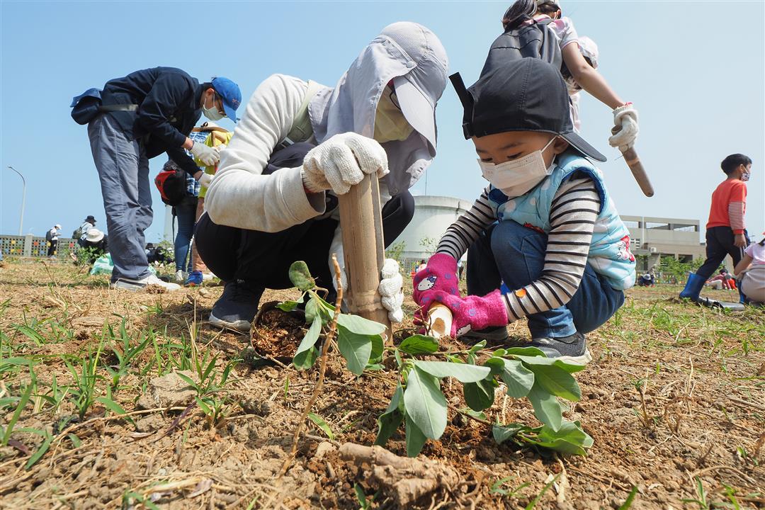
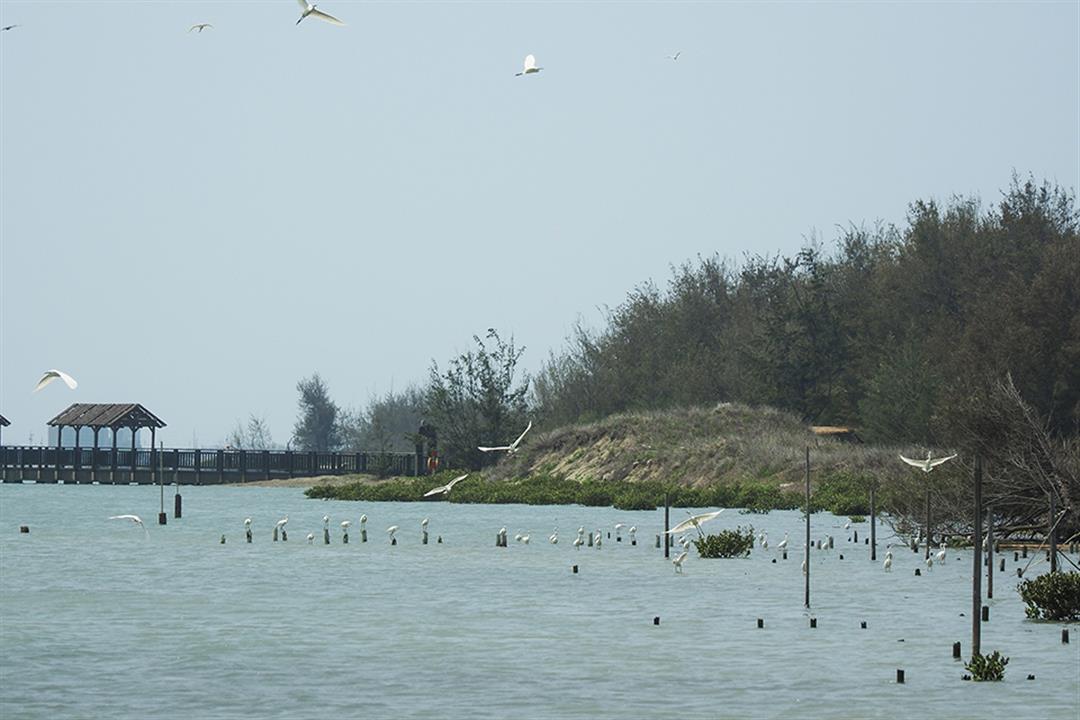
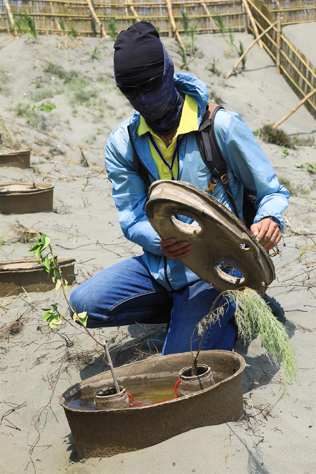
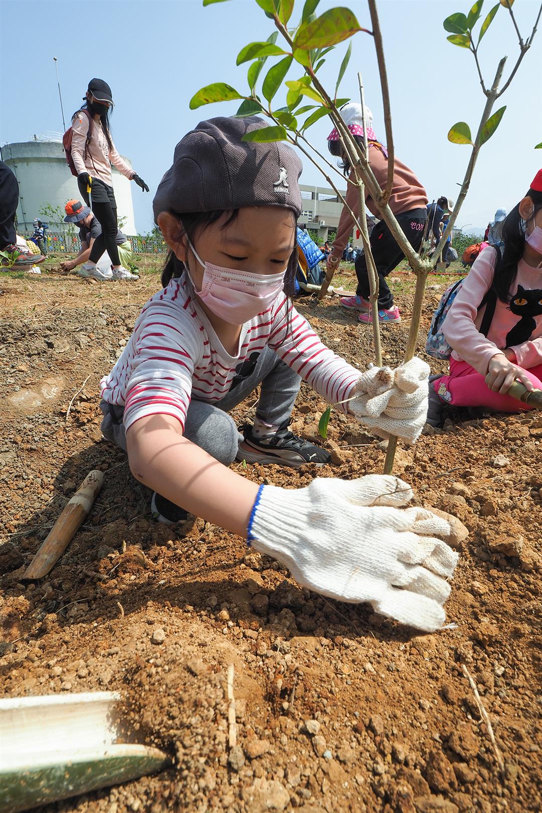
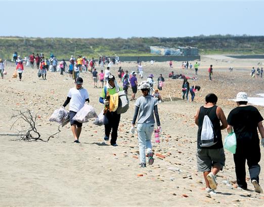
Finding urban land to plant trees
The innovative idea behind the Patch by Planting initiative is to use satellite remote imaging and geographic mapping data to make an inventory of areas of public land where the rate of green vegetation cover could be increased. It includes a platform for finding land available for tree planting throughout Taiwan and coordinating with businesses willing to commit resources to reforestation.
The Patch by Planting team now has eight or nine members, with diverse backgrounds including ecology, landscape planning, and software design. Founder Liu Che-wei is a community planner involved in many spatial planning initiatives. Programmer Lin Haowen, who works in the UK, designed a program incorporating weather, daily hours of sunshine, wind direction, and topography to assist in landscape design decisions. Lí Su-hiân, who works at the Academia Sinica, used his expertise in programming to build a data page for each piece of land identified by the project inventory, integrating openly available government information, such as the guide to Taiwanese endemic plant species published by the Forestry Bureau, in an easy-to-search visual format.
They submitted their plan to the 2020 Presidential Hakathon and were named a “Team of Excellence.” The Taoyuan City Government adopted their idea, inventoried the publicly owned land within its borders, and set up an integrated platform so that businesses or groups who want to plant trees can find suitable land to do so.
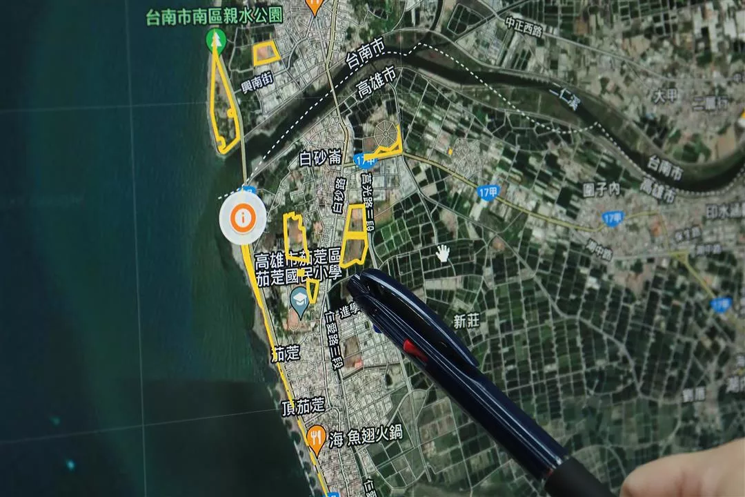
The Patch by Planting program combines satellite remote sensing data with map data to discover public land where green cover can be increased.