The Central Geological Survey (CGS), an agency of the Ministry of Economic Affairs, was originally formed to conduct research and provide expert advice. More recently, the agency has been influential in the ongoing reconstruction work in Lushan, and has also been tasked with joining a multidisciplinary disaster prevention system. These are unprecedented missions, but CGS workers believe that fulfilling them is their duty.
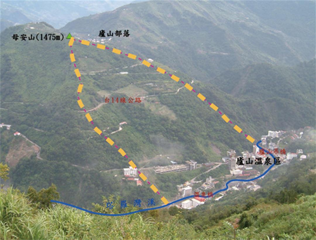
CGS director Lin Chao-chung explains that in 2006 the CGS surveyed several zones at high risk of landslide damage, studying their landslide susceptibility in the wake of the torrential rains of June 9 of that year. Lushan's north slope, which had experienced partial landslides in the past, was among the sites surveyed. "It was only after we got on site that we appreciated how serious the problem was," says Lin. "There was a huge slip surface under the ground. Fortunately, we were already monitoring for signs of slippage and there were also hints such as fallen stones on the ground. It wasn't at all like Xiaolin Village on Mt. Xiandu, where there were no indications at all before the village was wiped out."
Lin notes that from the standpoint of geological science, the Lushan hot springs district should never have been developed. The local Lushan Formation belongs to the Miocene slate and shale system that formed 5.3-23 million years ago. These rocks are easily eroded and broken, and the area's geology became looser still following the 1999 Jiji Earthquake. Lin says, "The collapse, transportation, and accumulation of earth and rock are natural processes. In 10 years, nature would clear the collapsed debris away. But the presence of the Wanda Reservoir disrupts the natural balance, so that it has to be cleared artificially. But that is an impossibly gargantuan task. This shows how when humanity goes against nature, we will eventually suffer the consequences."
"Geological science always makes great advances after huge disasters," says Lin. He says that he himself only truly understood tectonic plate movement after the Jiji Earthquake. But applying geological science to national land planning is a matter of social engineering. He explains that the world's geological surveys were all formed to facilitate the extraction of underground resources for human use. The CGS was no different-it too was formed to look for coal, iron, and other resources. It later turned its attention to "practical" (i.e. profitable) research on topics related to things like slopeland development and engineering geology. It was only after the Jiji quake that the CGS made surveying active faults and areas prone to landslides its primary mission. Lin stresses that even with scientific monitoring an element of uncertainty persists, and that true disaster prevention depends upon building the kind of risk awareness among the public that discourages risk taking.
@List.jpg?w=522&h=410&mode=crop&format=webp&quality=80)

@List.jpg?w=522&h=410&mode=crop&format=webp&quality=80)
@List.jpg?w=522&h=410&mode=crop&format=webp&quality=80)