Pathfinding
Besides assessing typhoon structure, another accomplishment of the DOTSTAR program is to improve predictions of the paths of tropical cyclones, which has long been a headache for forecasters around the world.
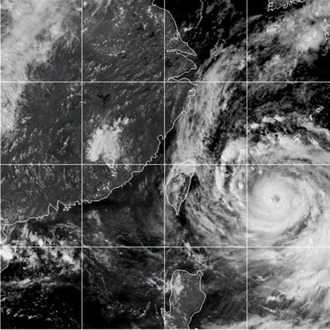
The pathways of typhoons that form in the western Pacific are affected by a number of factors, especially "steering" winds and the dynamics of the typhoon itself. The steering winds, in turn, can come from Pacific high pressure areas, southwesterly monsoon winds, or even northern weather fronts. Of these, the steering effect is most pronounced in the case of Pacific high pressure. For example, during summer when high pressure over the Pacific Ocean is strongest, the position of typhoons is restricted to relatively low latitudes, and they are more likely to follow westerly paths that take them into Taiwan or the Philippines. But if the Pacific high pressure retreats eastward and decreases in strength, typhoons are more likely to follow the high pressure ridge and head northwest toward Japan.
Daniel Wu explains that the factors that affect the track of a typhoon are very complex. Generally speaking, the stronger a typhoon is, the easier it is to predict. Because of the earth's rotation, tropical cyclones in the northern hemisphere spin in a counterclockwise direction. When the storm reaches a certain strength, forecasters can easily work out the interaction between the typhoon's own dynamics and the effect of the steering winds. On the other hand, if the typhoon is weak, sometimes you can't even locate the eye, so naturally it is more difficult to judge its movement.
To better measure the complex variables that can affect a typhoon's path, DOTSTAR's Dropsondes penetrate deep into the "sensitive regions" around the edges of a storm to do "strategic reconnaissance." One example of a sensitive region, says Wu Chun-chieh, is the boundary of a Pacific high pressure area, which comes closest to typhoons during the summer. The extent and strength of such sensitive areas, and the wind direction within them, will affect the wind field of a tropical cyclone, and can determine its future direction.
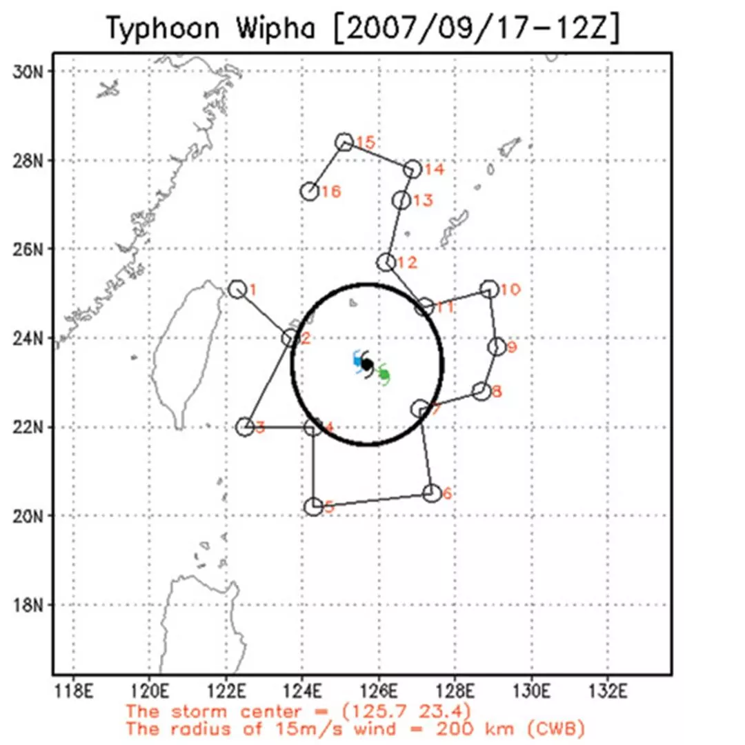
The experience that made the greatest impression on Wu was during Typhoon Conson, which hit in June of 2004. "When Typhoon Conson was just north of Luzon, the weather forecasters in various countries were all saying that it would sweep along the southwestern edge of Taiwan. But our field data indicated that the southwest winds in the seas where the typhoon was located were increasing in strength, which would push the storm toward Japan. The various weather bureaus may have amended their predicted paths in part because of our inputs."
Of course Dropsonde data is not perfect, and sometimes is of only marginal value. Wu relates: "On average, it can improve the numerical models used by the various national meteorological agencies to predict the path of a tropical cyclone over a 24 to 72-hour period by about 20%. For instance, if the predicted path is off by 100 kilometers, then Dropsonde data can help reduce that to 80 kilometers."
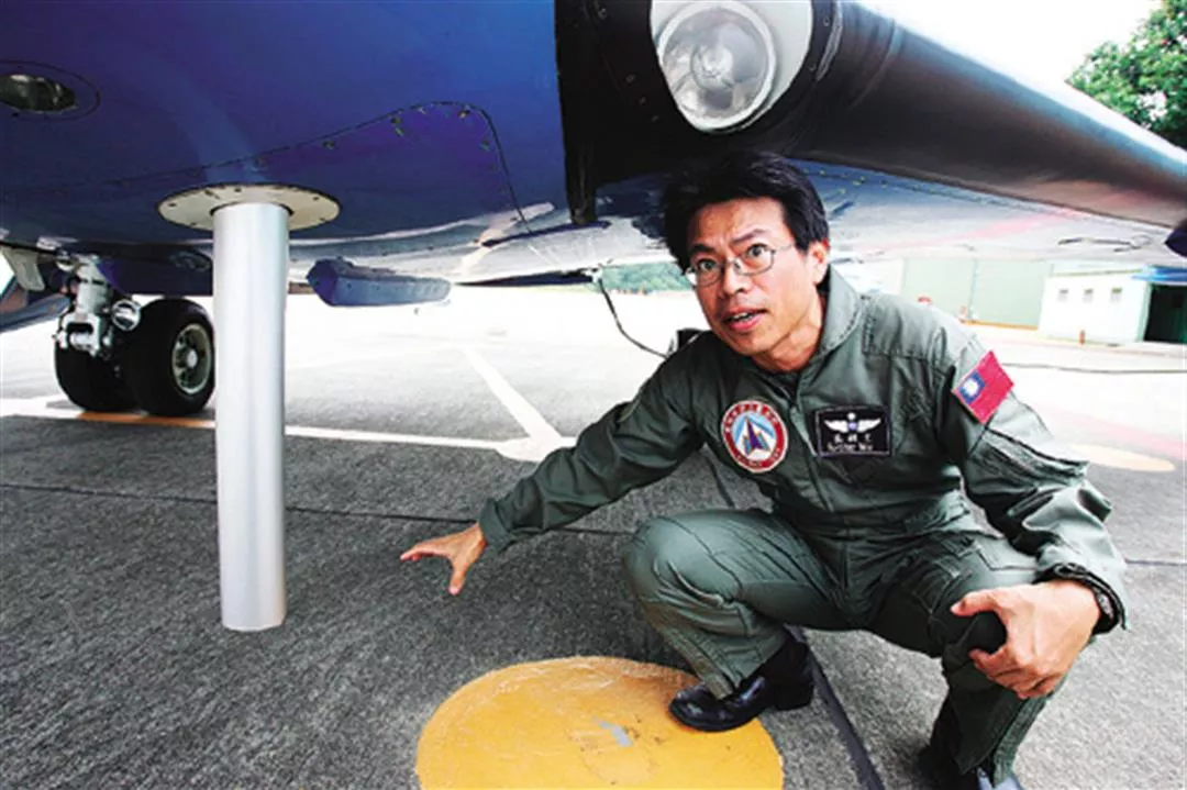
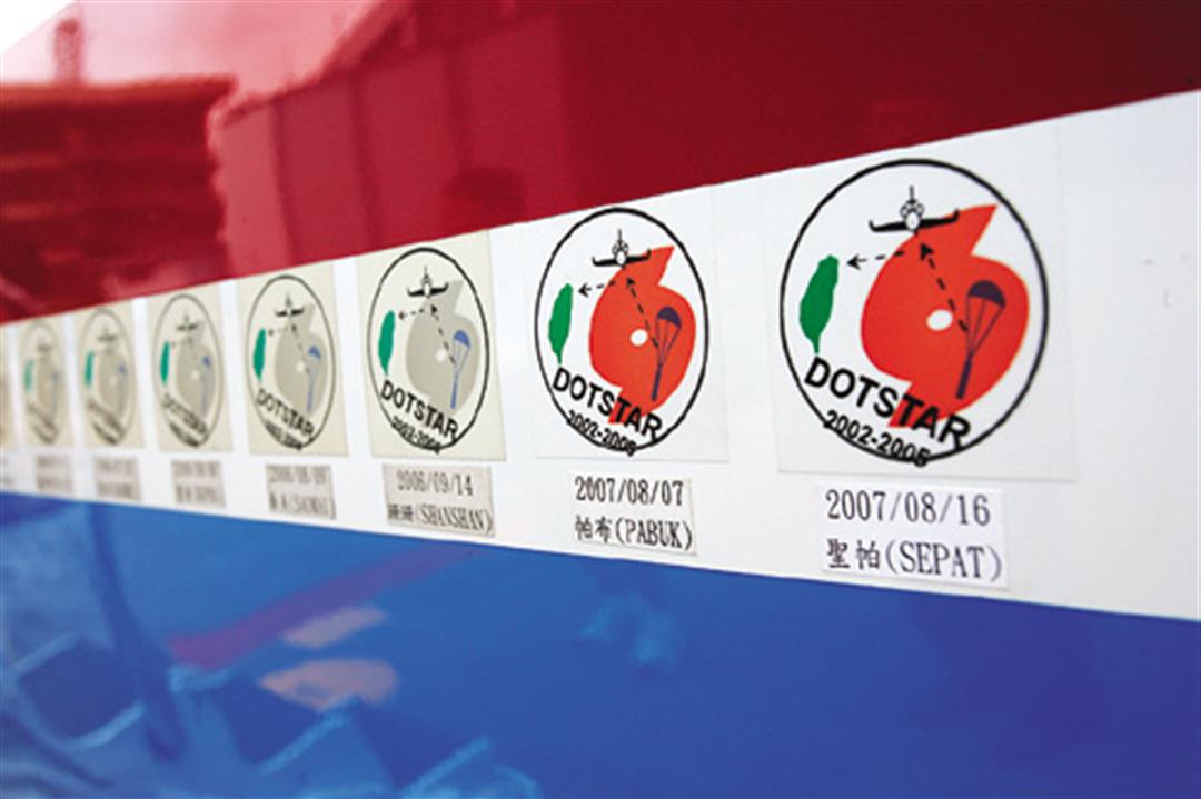
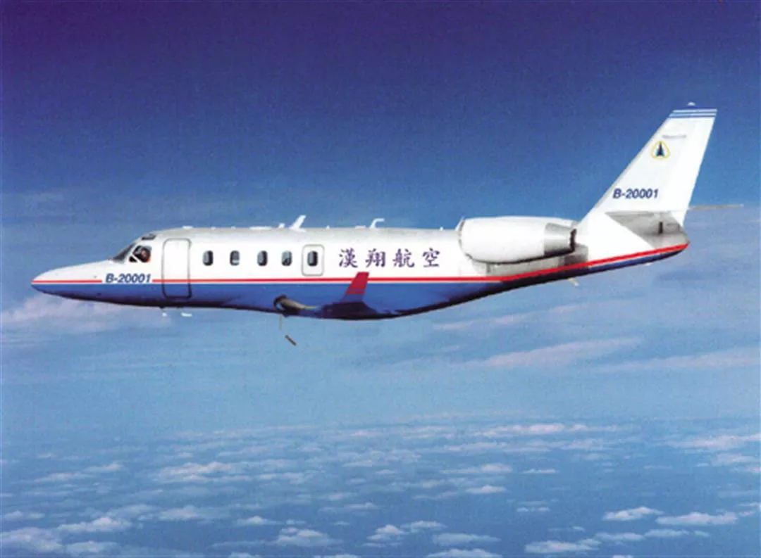
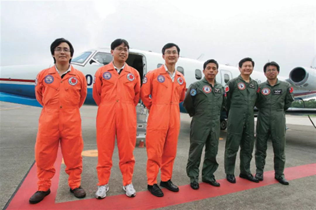
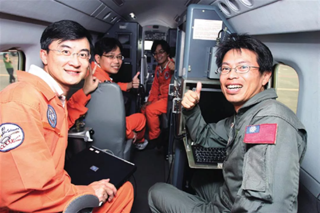
The fuselage of the Astra has a record of all the typhoons investigated by the DOTSTAR team. At right is Wu Ching-wen, head of the AIDC's Aeronautical Engineering Department, explaining how Dropsonde weather surveillance devices are released.