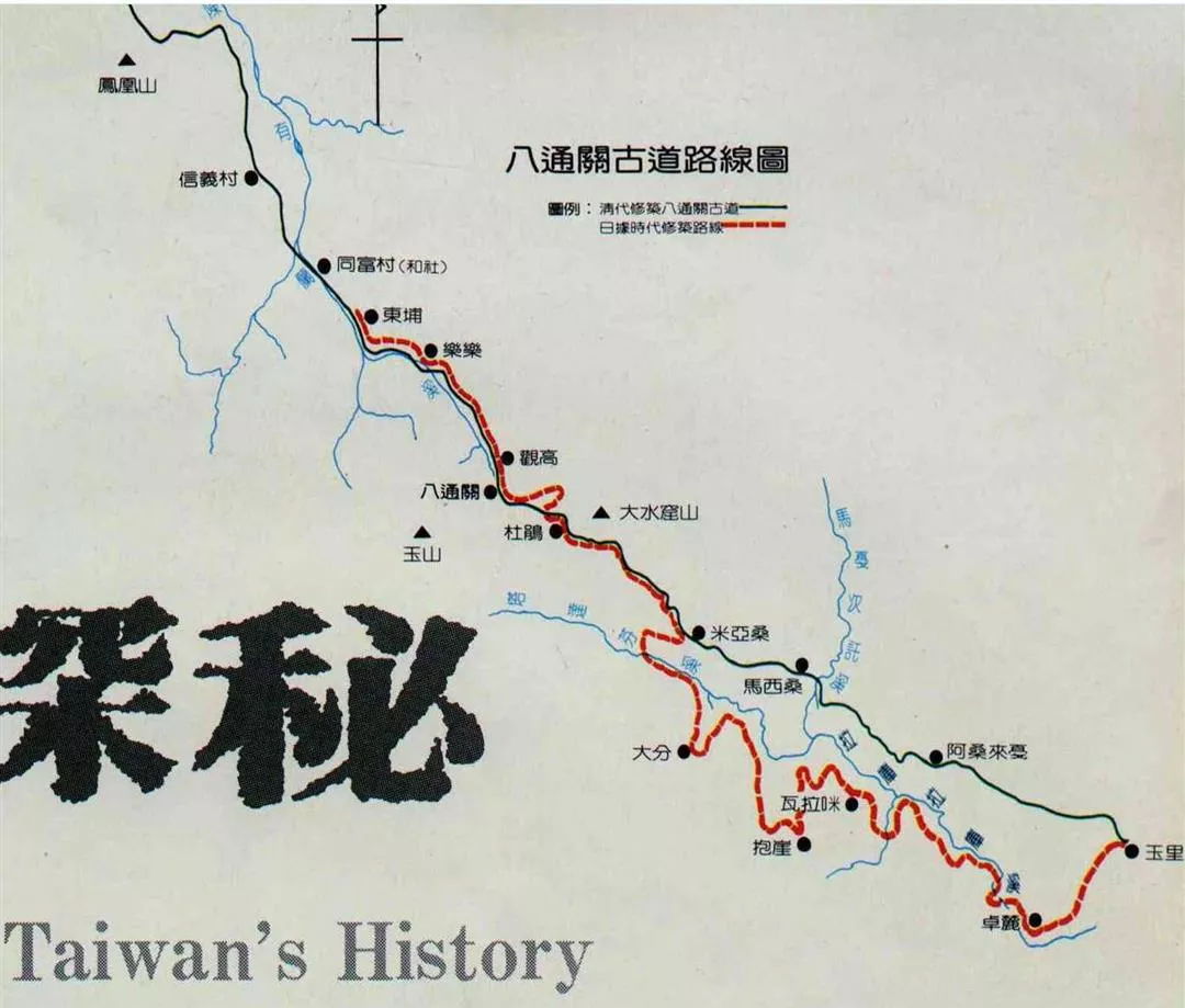
Lovely Yushan National Park, with its alpine vistas, majestic stands of forests and sparkling streams, is also an important repository of valuable historic relics. In order to learn more about these keys to the past history of the island province, the home administration in charge of overseeing this work sent archeological teams to the park to conduct field studies. Among the important discoveries was that of an ancient road that wound its way through the central portion of the park. The excited archeologists discovered that this trail was part of a lengthy road that traversed the central mountain range from the Chushan area in the west, to Yuli, near Hualien in the east. The total distance the trail covered was 120 kilometers.
Known as Pat'ungkung in the native aboriginal dialect, the road was constructed during the reign of the Ching dynasty emperor Kuang Hsu (also known as Teh Tsung, 1875-1908). The investigative teams, in order to learn as much as they could about the trail and the historical mysteries it could unravel, followed its entire route, opening up sections that had been lost to years of vegetation overgrowth. This discovery, coupled with the exploration of its route initiated widespread interest among the general public about the trail and the history surrounding the early settlement of Taiwan.
The trail was originally called Yushan after the majestic peak, but it was renamed Pat'ungkuan after a large stretch of grassy plain located at the base of a towering (3404 meter) mountain of the same name that the road cut across. This area, with its fertile plain, was more conducive to settlement and thus soon lent its name to the route that wound through its borders.
Early settlement of the island occurred almost exclusively along the west coastal plain. The Ching court, anxious to open up the interior and eastern regions, commissioned the building of the road to lead prospective pioneers. Despite its successful completion, a lack of guards to protect and maintain its passage from the ravages of surprise attacks by aborigines caused it to fall into disrepair.
The Japanese, who occupied the island from 1895 to 1945, sought to reopen the road as part of their policy to control the aboriginal raids, especially those against Japanese policemen. They managed to complete the western portion but had to build their own eastern half.
After nearly 50 years of dormancy, the trail has stirred renewed interest, but this time it is historic interest that drives teams into the forested regions in hopes of learning more about the early history of Chinese settlement. Ch'en Chung-yu, a researcher in the graduate department of history at the Academia Sinica, has been one of the most ardent of these new explorers. Diligently studying all available historic records as well as interviewing the aboriginal groups in the region, he has shed a great deal of light on this important stage of island history.
In 1684, during the reign of the Ching emperor, K'ang Hsi, Taiwan came under the administration of China. It was included as a part of Fukien province and divided into three counties. Despite its important strategic location off the southeast coast of mainland China, the Ching court adopted a conservative policy in administrating the island.
Consonant with the early settlement of Taiwan, groups of Japanese traders, particularly those from the island of Okinawa, began to harass the Mutan region of southeast Taiwan. The imperial court then realized that they must open up the more remote regions to settlement in order to better protect it from external aggression. To pursue this new policy, the court sent Shen P'ao-chen to the island to develop three inland routes. These were: a northern road from Suao in the Ilan area (northeast) to Hualien, a southern route from Hengch'un to Taitung, and finally the central route which was the Pat'ungkuan road.
Since the retrocession of Taiwan in 1945, the north route has become part of the Suhua Public Road, while the southern road has been incorporated into the Nanhui rail line. That left the Pat'ungkuan trail as the only ancient route not lost to the advances of progress. This route, therefore, stands as a valuable record to the changing Ching policy of island settlement. The three routes also are crucial pieces of evidence showing the court's active interest in developing the island.
The actual work on the trail was carried out in 1875 by Wu Kuang-liang, a high-ranking officer from the southern mainland provinces of Kwangtung, and Kwanghsi. Leading a force of some 2,000 men, they completed the 120 kilometer route after an arduous 10-month odyssey. Unlike today's engineers, who can use the latest in technological machinery to lay roads, these pioneers had to rely on simple implements. Mountains had to be traversed as there was no dynamite to blast out more convenient detours. In constant fear of aboriginal raids, builders cleared a wide area in order to discourage aboriginal attacks. Forts, outposts and military encampments were also set up at varying intervals along the course of the route.
Chang Yeh Yi-hu, a first lieutenant in the Japanese army, spent 17 days travelling the trail. His impressions were recorded in a book of early island history. He was awed by the magnificence of the route and its outposts.
Ch'en Chung-yu has made 11 trips to the route since 1981. During his first expedition in August of 1981 he discovered the remains of stone walls that made up part of the inlay of the trail. The remains revealed that the stones were laid at angles. In November of 1981, another expedition, which included an American adviser for the National Park division, discovered more trail remains. The American adviser recognized the pattern to be similar to the inlay pattern of trails laid in California by Chinese laborers during the construction of rail lines in the late 19th century.
Ch'en Chung-yu made some important discoveries in Nant'ou County's Hsin Yi Hsiang, and in the area around P'uli Ts'un. The stone pieces used to form the step-like route, were common stylistic features of building during the late 19th century in southern China.
This past January a large lookout tower was discovered just four kilometers off the trail at Kuankao. Covering an area of some 530 square meters, it was surrounded on three sides by earthen walls. The same expedition uncovered a large military encampment which measured close to 900 square meters.
All these sites were built in the same fashion as similar sites.
Two stone tablets inscribed with verses commemorating the trail are also important testaments to its history. One is on display in an amusement center in Nant'ou County, while the other was lost in a disastrous flood in 1958.
Recently a new road was planned to be routed through part of the Pat'ung Kuan course. The public support for the preservation of such a valuable slice of history as well as the need for National Parks to protect historic relics caused the government to have the road rerouted.
The Pat'ungkuan trail represents a living piece of island history. Walking along its tranquil forested course, the hiker can be transported into a peaceful realm, worlds away from the hectic pace of the modern world. Leading a path to recent history, it is a national treasure to be cherished.
(Gerald Hatherly)
[Picture Caption]
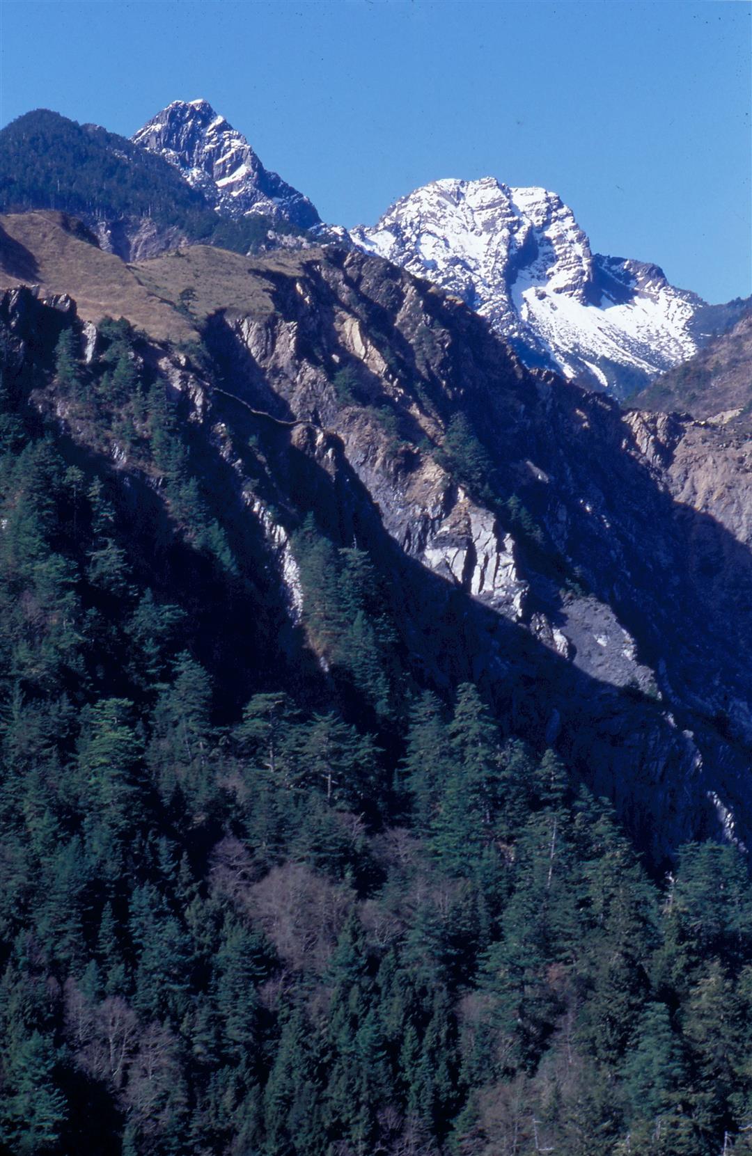
The route of the Pat'ungkuan leads through some spectacular mountain scenery. Follow the trail and you can see the awe-inspiring beauty of Yushan with its snow-covered crests, the highest point on the island of Taiwan. On the left is a scene from Yushan's southeast slope. Pictured at right is a portion of the trail that runs through the Yushan National Park. Park management have already begun to repair the trail.
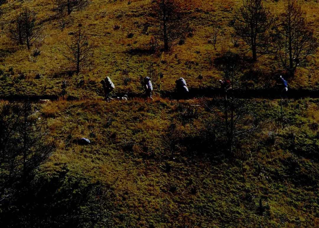
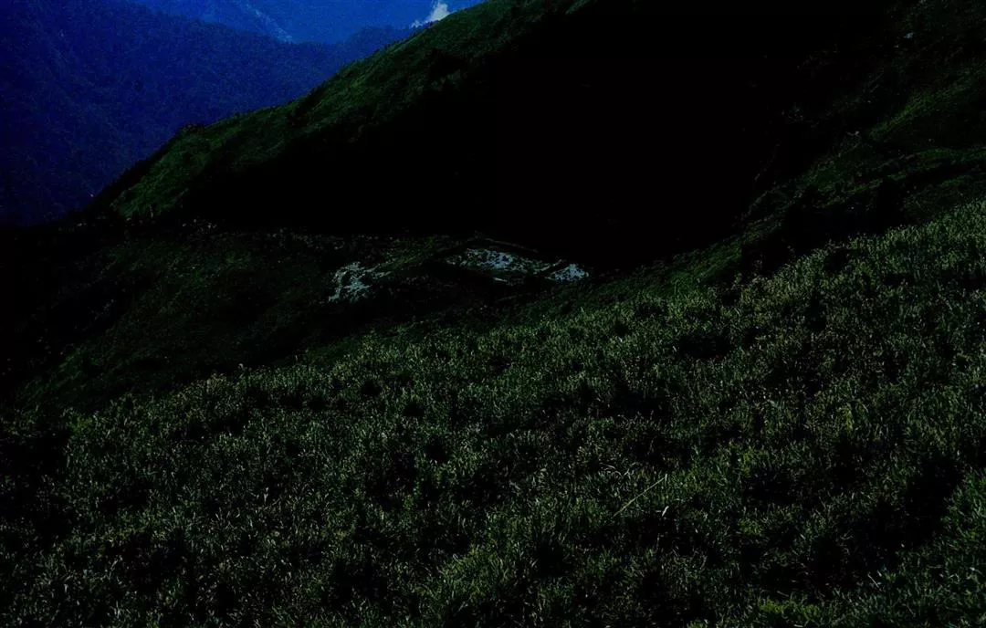
Aborigines from Tungp'u Ts'un often use the Pat'ungkuan Trail when they come through the Central Mountain Range. 1. Stone remains of the trail laid in the "jen" (at angles like the Chinese character for man) pattern are already buried beneath the grassy overgrowth of the Pat'ungkuan Plain. 2. These concrete pillars are most likely the entrance to a Japanese police post. The character inscriptions have since faded away, but the Forestry Service Bureau has inscribed a ban of farming warning on the right pillar.
The wind blown clouds and mists of winter create a sense of boundless expanse on the Pat'ungkuan Plain.
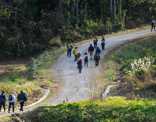
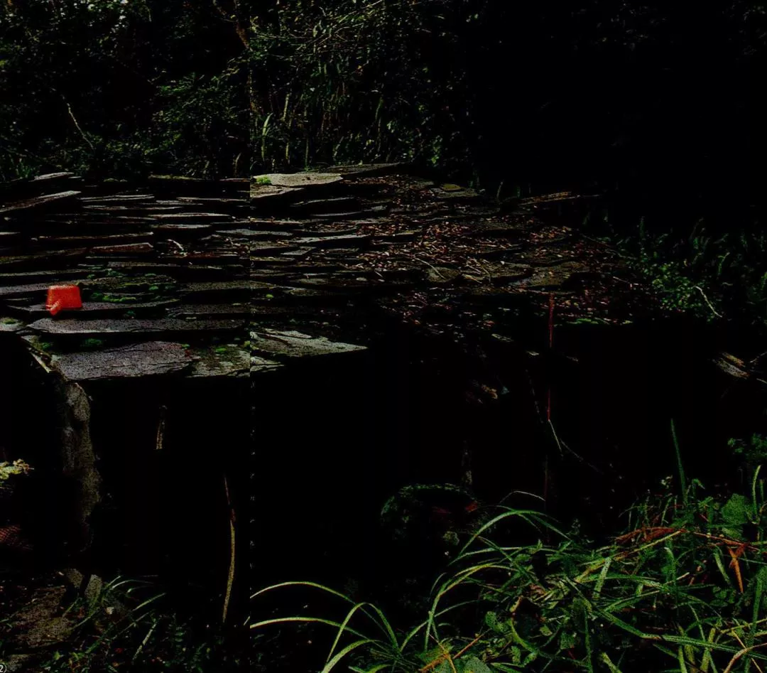
1. The remains at the lower level of Tashuik'u have been verified by archeologists as a Ching dynasty encampment. 2. The western portion of the trail is already a popular mountain climbing hiking route. Pictured is a stretch of the western portion with its lovely forested trail. It is quite evident from the photo that the trail is easy to traverse.
1. The rocks and serrated rock cleavages of the Central Mountain Range provided materials for the Ching dynasty trail builders when they were constructing the step-like sections of the route. 2. An aboriginal hunting shelter in the forest undergrowth along the eastern part of the trail. The roof is made with the same natural rock sections that early trail builders used. 3. Originally a bright vermilion red, this stone tablet commemorating the trail is now faded and encrusted with moss.
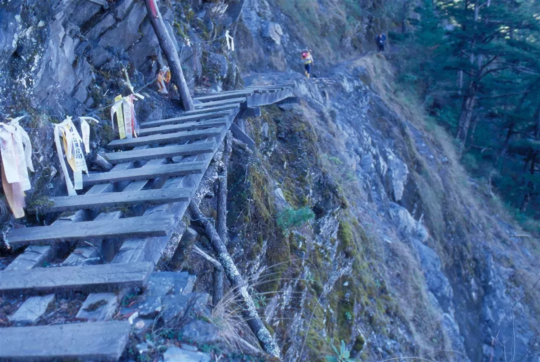
Pictured at right is a portion of the trail that runs through the Yushan National Park. Park management have already begun to repair the trail.
Aborigines from Tungp'u Ts'un often use the Pat'ungkuan Trail when they come through the Central Mountain Range.
Aborigines from Tungp'u Ts'un often use the Pat'ungkuan Trail when they come through the Central Mountain Range.
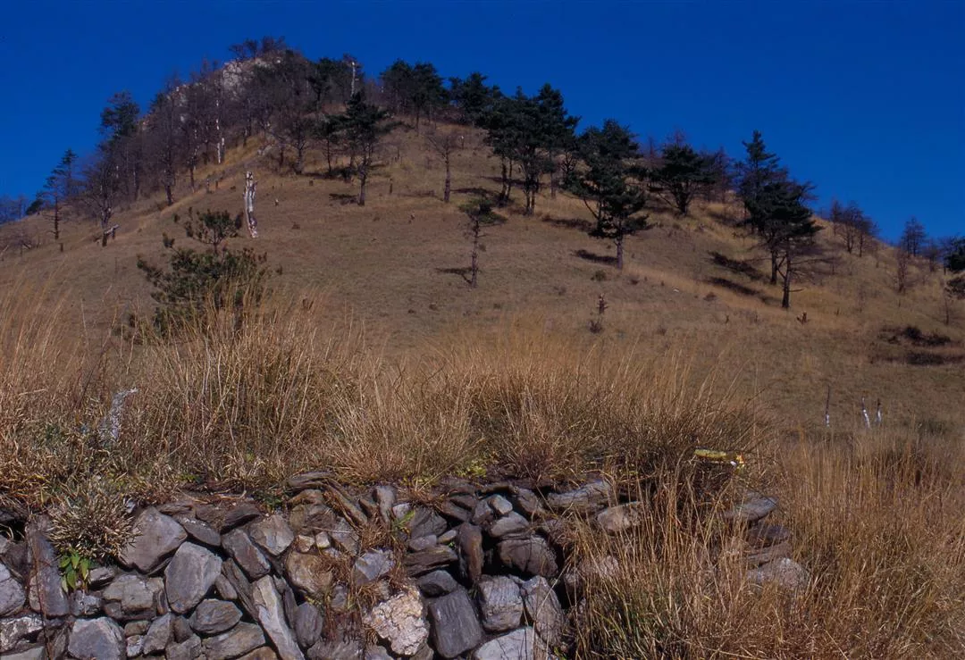
1. Stone remains of the trail laid in the "jen" (at angles like the Chinese character for man) pattern are already buried beneath the grassy overgrowth of the Pat'ungkuan Plain.
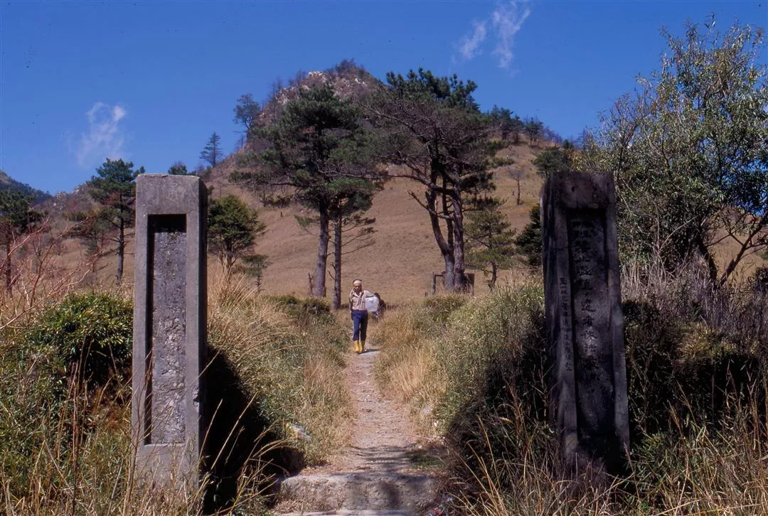
2. These concrete pillars are most likely the entrance to a Japanese police post. The character inscriptions have since faded away, but the Forestry Service Bureau has inscribed a ban of farming warning on the right pillar.
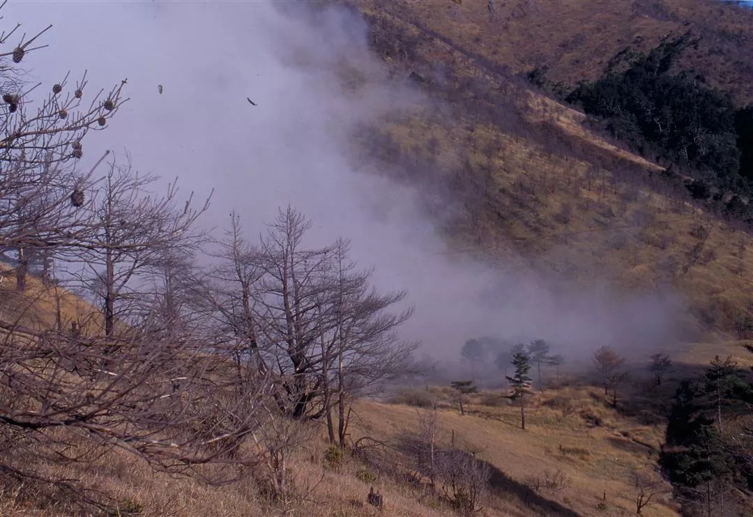
The wind blown clouds and mists of winter create a sense of boundless expanse on the Pat'ungkuan Plain.
1. The remains at the lower level of Tashuik'u have been verified by archeologists as a Ching dynasty encampment.
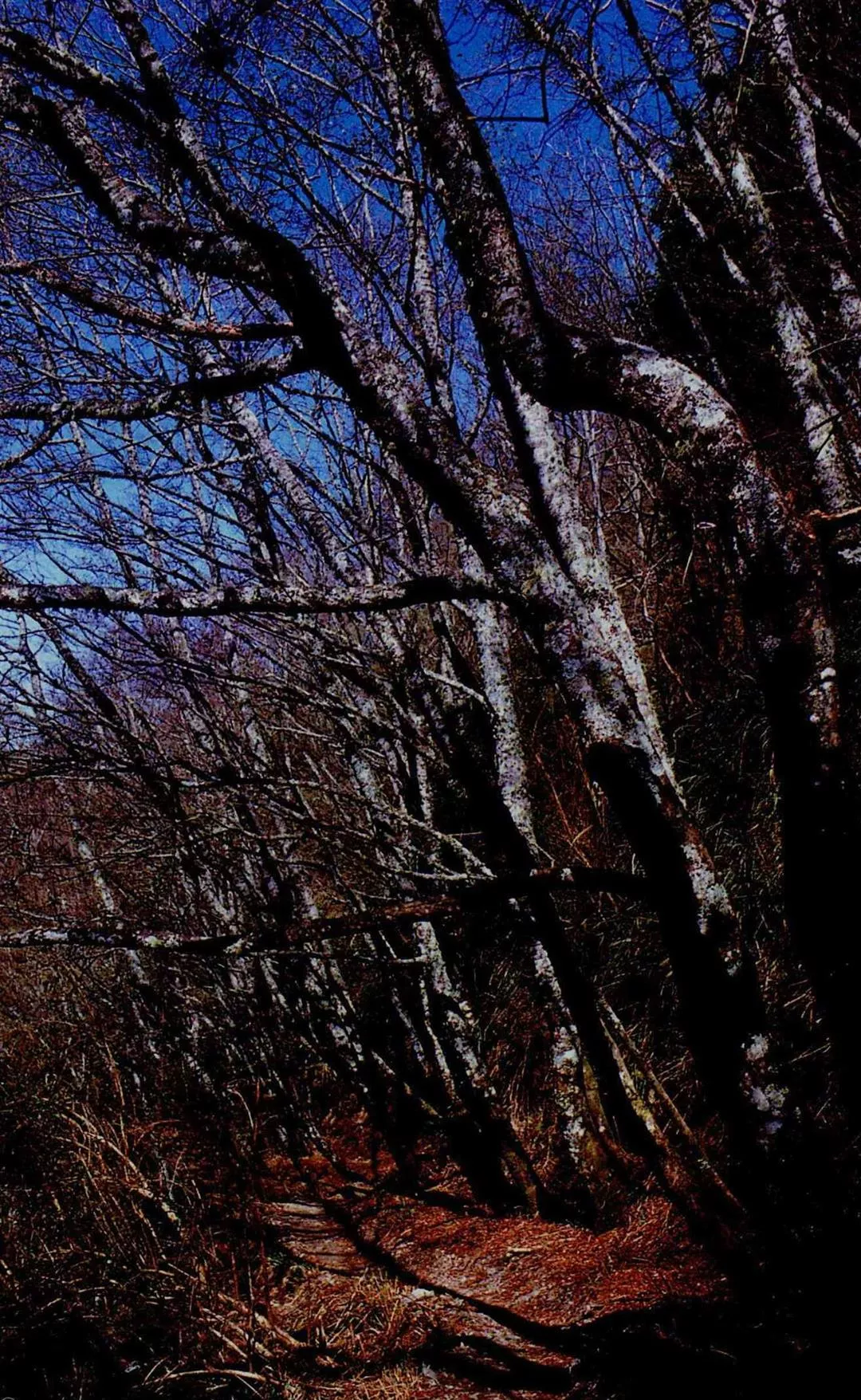
2. The western portion of the trail is already a popular mountain climbing hiking route. Pictured is a stretch of the western portion with its lovely forested trail. It is quite evident from the photo that the trail is easy to traverse.
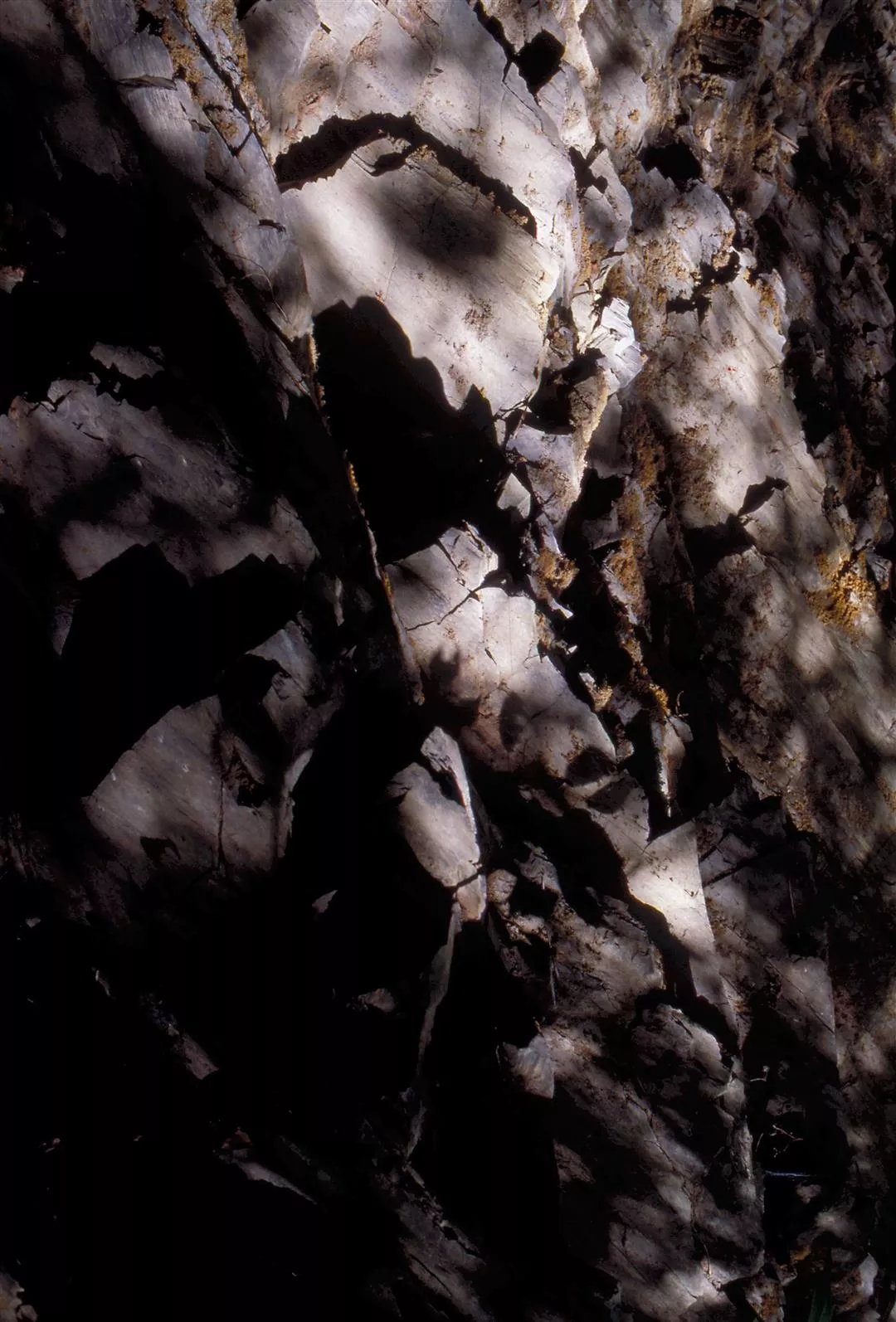
1. The rocks and serrated rock cleavages of the Central Mountain Range provided materials for the Ching dynasty trail builders when they were constructing the step-like sections of the route.
2. An aboriginal hunting shelter in the forest undergrowth along the eastern part of the trail. The roof is made with the same natural rock sections that early trail builders used.
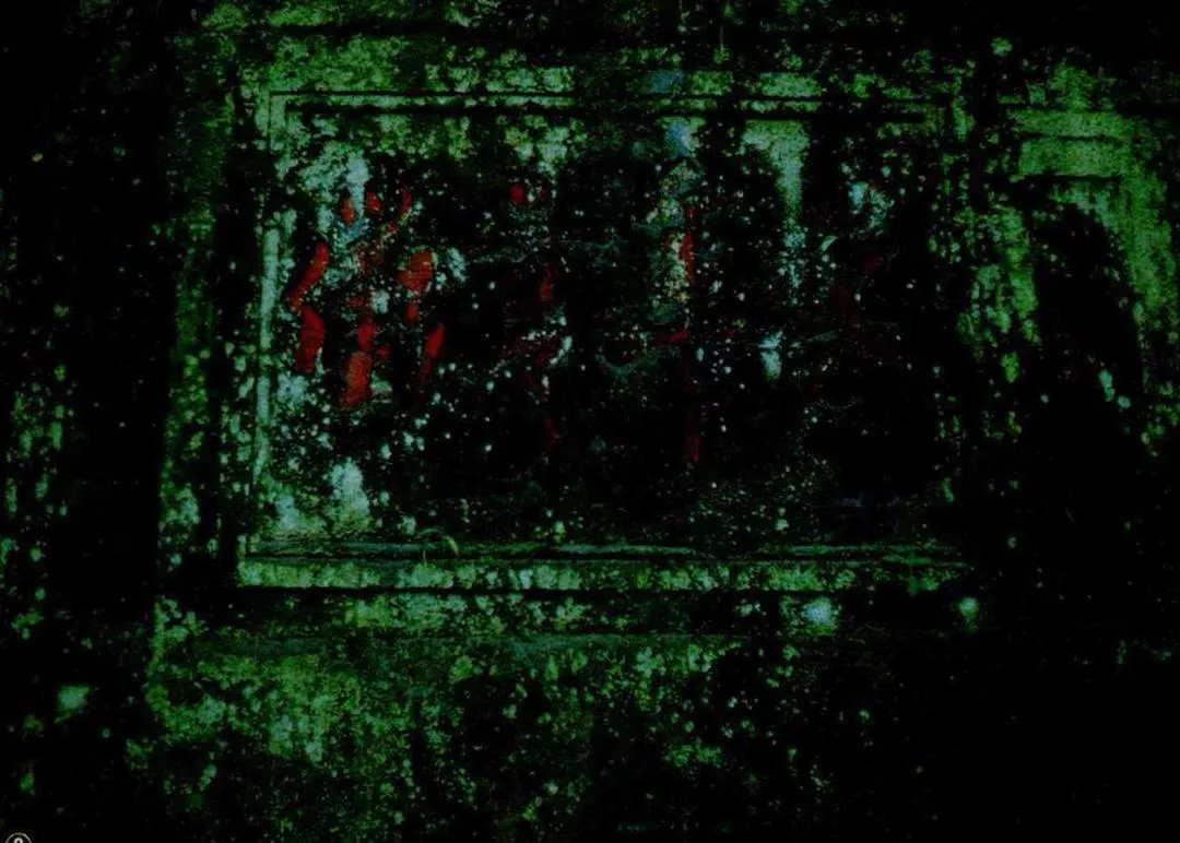
3. Originally a bright vermilion red, this stone tablet commemorating the trail is now faded and encrusted with moss.
@List.jpg?w=522&h=410&mode=crop&format=webp&quality=80)
@List.jpg?w=522&h=410&mode=crop&format=webp&quality=80)